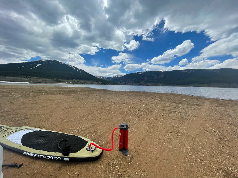
Taylor Park Reservoir sits on the Taylor River in Gunnison County, Colorado, at 3,141 metres — a little over 10,300 feet. It is the highest location Kaayko tracks by more than two hundred metres, held in a broad basin ringed by the Sawatch and Elk mountains.
What drives the score here
Everything here follows from the altitude. This is the spot where the cold-water rule is most consistently in play, and it is entirely normal for Taylor Park to return a capped score on a day that looks flawless from the shore. The basin is also open enough that wind reaches the surface without much interruption, so exposure compounds the elevation rather than offsetting it — unlike Cottonwood, which sits high but sheltered. If you want to understand why the Paddle Score refuses to be talked out of a low number, this is the clearest example in the list.
What the Paddle Score measures
A single number from 1 (Danger) to 5 (Excellent), built from wind speed and gusts, air and water temperature, UV index, cloud cover, precipitation and visibility — then constrained by fixed safety rules the model is not allowed to override. Wind above 25 mph costs two full points. Water below 5°C is penalised hard regardless of how good the day looks.
What the score can’t see
At over 10,000 feet the season is short and weather moves through quickly. Forecast confidence degrades faster here than anywhere else Kaayko covers, and the third day of a three-day forecast is worth noticeably less than the first.
Wear a life jacket, every time. The Paddle Score is a decision aid, not clearance to go out. It cannot account for your skill, your equipment, currents, traffic, or hazards at your launch site.