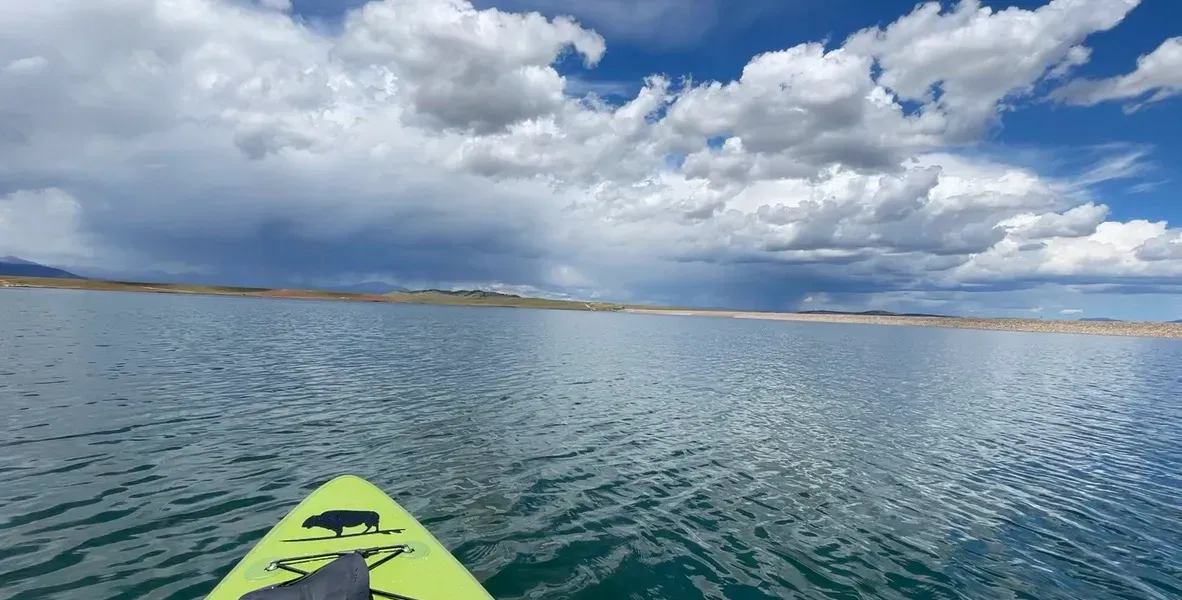
Antero is a high-plains reservoir in South Park, Colorado, near the headwaters of the South Platte River. The recorded elevation is 2,736 metres — close to 9,000 feet. It is owned and operated by Denver Water as part of the city’s supply system, and it sits in open country rather than in a canyon or a forest basin, so there is very little sheltering terrain anywhere around it.
What drives the score here
At this elevation the water stays cold well past the point where the air feels comfortable, and that gap is what the Paddle Score keeps catching. A warm, still, sunny afternoon can still produce a mediocre score here, because the cold-water rule does not care how pleasant the air is. Exposure compounds it: with no terrain to break it up, wind reaches the surface with little to slow it down, which makes Antero more wind-sensitive than the sheltered mountain lakes at comparable altitude, such as Cottonwood.
What the Paddle Score measures
A single number from 1 (Danger) to 5 (Excellent), built from wind speed and gusts, air and water temperature, UV index, cloud cover, precipitation and visibility — then constrained by fixed safety rules the model is not allowed to override. Wind above 25 mph costs two full points. Water below 5°C is penalised hard regardless of how good the day looks.
What the score can’t see
Antero has been drawn down and refilled repeatedly over its history as a working supply reservoir, and surface conditions change with it. The score reads weather, not reservoir operations. Check current status with the managing agency rather than inferring it from a good forecast.
Wear a life jacket, every time. The Paddle Score is a decision aid, not clearance to go out. It cannot account for your skill, your equipment, currents, traffic, or hazards at your launch site.