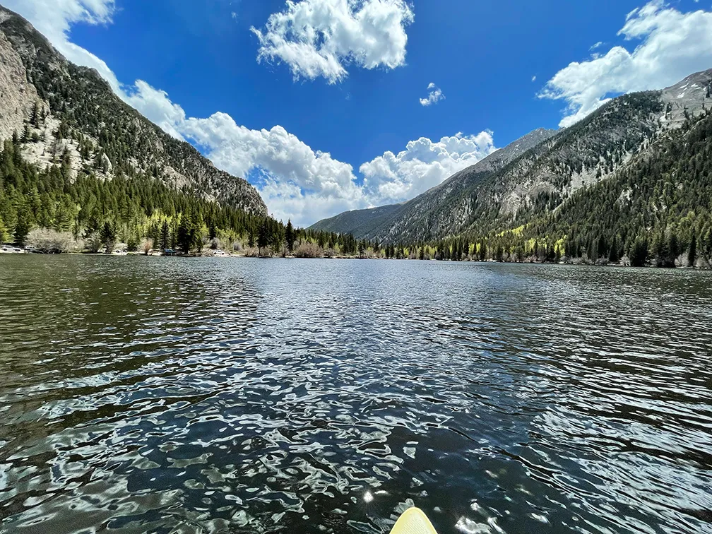
Cottonwood Lake sits in Chaffee County, Colorado, west of Buena Vista in the San Isabel National Forest, at a recorded 2,920 metres — a shade under 9,600 feet. It is a small mountain lake held in a drainage rather than on an exposed plain, which makes it a useful contrast with Antero at a similar altitude.
What drives the score here
Cold water is the governing input. At close to 9,600 feet, water temperature lags air temperature by a wide margin for most of the paddling season, and the score reflects that even on days that look ideal from the shore. Its position in a drainage gives it more shelter than the open reservoirs, so wind is less often the deciding factor than elevation is. Of the three Colorado spots here, Cottonwood is the one where the score is most consistently limited by a single input rather than by a shifting combination.
What the Paddle Score measures
A single number from 1 (Danger) to 5 (Excellent), built from wind speed and gusts, air and water temperature, UV index, cloud cover, precipitation and visibility — then constrained by fixed safety rules the model is not allowed to override. Wind above 25 mph costs two full points. Water below 5°C is penalised hard regardless of how good the day looks.
What the score can’t see
Small high-altitude lakes change character quickly when weather moves through the range, and a small surface responds faster than a large one. A three-day forecast is a weaker instrument here than it is at low elevation, and I would weight the near hours far more heavily than the far ones.
Wear a life jacket, every time. The Paddle Score is a decision aid, not clearance to go out. It cannot account for your skill, your equipment, currents, traffic, or hazards at your launch site.