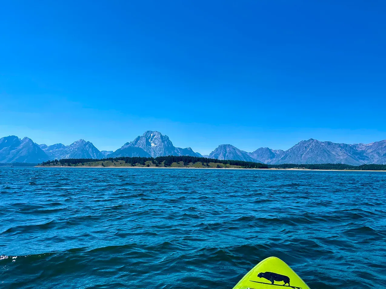
Jackson Lake is the largest lake in Grand Teton National Park, Wyoming, at 2,062 metres. It is a natural glacial lake raised by a dam at its outlet, and it sits directly beneath the Teton Range, with a long open surface running north to south.
What drives the score here
Jackson combines the two things the model treats most seriously: real altitude and a large, open surface. Cold water keeps a floor under the score for much of the season, and the size of the lake means there is enough open water for wind to build across before it reaches you. Compared with Jenny Lake a few miles south — only eleven metres lower, but far smaller and more enclosed — Jackson is the more exposed of the two, and wind shows up as the limiting input in its scores noticeably more often.
What the Paddle Score measures
A single number from 1 (Danger) to 5 (Excellent), built from wind speed and gusts, air and water temperature, UV index, cloud cover, precipitation and visibility — then constrained by fixed safety rules the model is not allowed to override. Wind above 25 mph costs two full points. Water below 5°C is penalised hard regardless of how good the day looks.
What the score can’t see
Large mountain lakes can be calm at one end and not at the other. The score is computed for a single point and should be read as a general indication for the lake, not a guarantee for a specific bay or crossing. On a lake this size that distinction is not academic.
Wear a life jacket, every time. The Paddle Score is a decision aid, not clearance to go out. It cannot account for your skill, your equipment, currents, traffic, or hazards at your launch site.