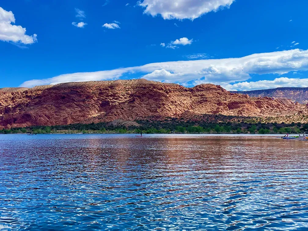
Kens Lake is a small reservoir in Grand County, Utah, south of Moab and below the La Sal Mountains, at 1,558 metres. It is high desert rather than alpine — well above sea level, but more than a kilometre below the Colorado mountain reservoirs in this list, and in a completely different climate from them.
What drives the score here
That middle elevation puts Kens in an unusual position among the seventeen. It is high enough that water temperature still registers, but its desert setting means heat and UV carry real weight through the summer, which is not true of the alpine spots at all. The result is that which input decides the score here shifts across the season more than at either extreme: closer to Taylor Park in spring, closer to Lake Powell in July. It is the least predictable spot in the list in terms of what will limit it on any given day.
What the Paddle Score measures
A single number from 1 (Danger) to 5 (Excellent), built from wind speed and gusts, air and water temperature, UV index, cloud cover, precipitation and visibility — then constrained by fixed safety rules the model is not allowed to override. Wind above 25 mph costs two full points. Water below 5°C is penalised hard regardless of how good the day looks.
What the score can’t see
This is a small water body, and small reservoirs respond quickly to both weather and management. The score reads the weather half of that only, and says nothing about the other half.
Wear a life jacket, every time. The Paddle Score is a decision aid, not clearance to go out. It cannot account for your skill, your equipment, currents, traffic, or hazards at your launch site.