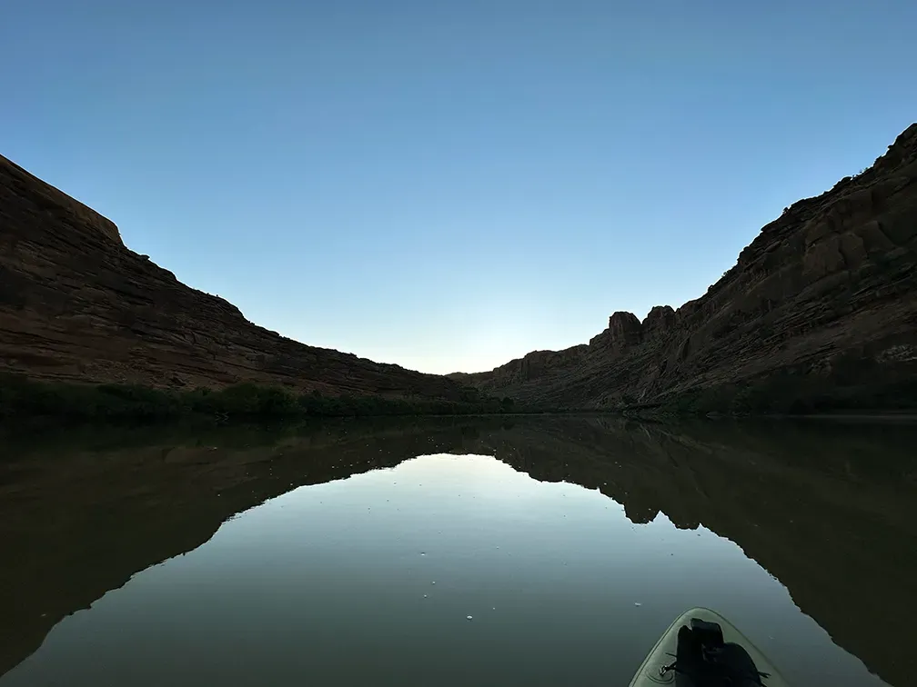
This is the Colorado River where it runs past Moab, in southeastern Utah, at about 1,330 metres. It is one of only two moving-water locations in this list, and that distinction matters more than anything else on this page.
What drives the score here
The Paddle Score is a weather model. On a river it describes the air above the water and very little about the water itself. Wind, heat, and UV all read normally here, and the desert setting means heat and UV carry real weight through the summer — closer in character to Lake Powell downstream than to anything in the Colorado mountains. But current, flow rate, and upstream release schedules are invisible to it, and on the Colorado those are frequently the things that decide whether a day is sensible.
What the Paddle Score measures
A single number from 1 (Danger) to 5 (Excellent), built from wind speed and gusts, air and water temperature, UV index, cloud cover, precipitation and visibility — then constrained by fixed safety rules the model is not allowed to override. Wind above 25 mph costs two full points. Water below 5°C is penalised hard regardless of how good the day looks.
What the score can’t see
Treat a good score here as a statement about the weather only. Check flow with an official USGS gauge before you commit to a stretch — the model cannot see it, and I would rather say so plainly than let a five-out-of-five imply otherwise. This is the clearest case in the whole list of a high score meaning less than it appears to.
Wear a life jacket, every time. The Paddle Score is a decision aid, not clearance to go out. It cannot account for your skill, your equipment, currents, traffic, or hazards at your launch site.