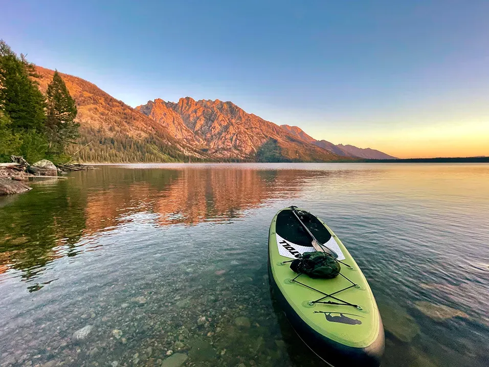
Jenny Lake sits at the base of the Teton Range in Grand Teton National Park, Wyoming, at a recorded 2,073 metres. It is a glacially formed lake, smaller and more enclosed than Jackson Lake to its north, and held tight against the mountains along its western shore.
What drives the score here
Elevation is the thing to understand here. At just over 2,000 metres the water stays cold long into the season, and cold water is weighted heavily in the Paddle Score regardless of how warm the air is or how clear the sky looks. This is the most common reason a bright summer day at Jenny does not return a perfect score, and it surprises people every year. Being smaller and more sheltered than Jackson, Jenny is somewhat less often limited by wind and somewhat more often by water temperature — two lakes eleven metres apart in altitude that fail their scores for different reasons.
What the Paddle Score measures
A single number from 1 (Danger) to 5 (Excellent), built from wind speed and gusts, air and water temperature, UV index, cloud cover, precipitation and visibility — then constrained by fixed safety rules the model is not allowed to override. Wind above 25 mph costs two full points. Water below 5°C is penalised hard regardless of how good the day looks.
What the score can’t see
The mountains immediately west mean local wind can behave differently from the regional forecast the model reads. Treat the score as a starting point and look at the water before you commit.
Wear a life jacket, every time. The Paddle Score is a decision aid, not clearance to go out. It cannot account for your skill, your equipment, currents, traffic, or hazards at your launch site.