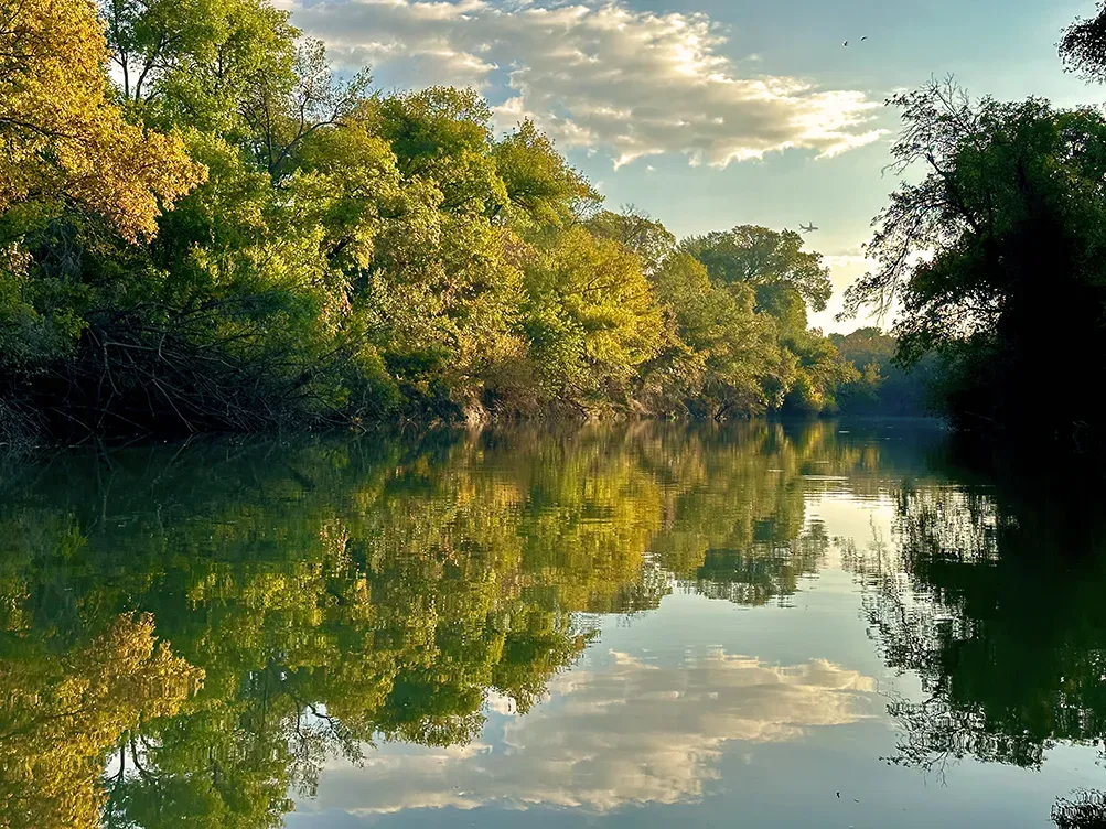
This is the Trinity River where it passes through Irving, in the Dallas–Fort Worth area of Texas, at 162 metres. It is an urban river corridor rather than a wilderness one, running through a heavily developed watershed, and it is the third moving-water location in this list alongside the Colorado and the Merrimack.
What drives the score here
Low elevation and a warm climate mean the cold-water rule rarely governs here. Heat, UV, and wind do most of the work, and through the Texas summer heat is frequently the input holding the score down — the same profile as White Rock Lake a few miles east, minus the open surface that lets wind build. As with any river, though, the weather is only part of the picture, and on this one it is the smaller part.
What the Paddle Score measures
A single number from 1 (Danger) to 5 (Excellent), built from wind speed and gusts, air and water temperature, UV index, cloud cover, precipitation and visibility — then constrained by fixed safety rules the model is not allowed to override. Wind above 25 mph costs two full points. Water below 5°C is penalised hard regardless of how good the day looks.
What the score can’t see
Urban rivers respond sharply to rainfall upstream, and flow can rise well after the rain has stopped and the sky over you has cleared. The Paddle Score reads the sky. It does not read the river. Check an official USGS gauge before you go, particularly after any rain in the watershed.
Wear a life jacket, every time. The Paddle Score is a decision aid, not clearance to go out. It cannot account for your skill, your equipment, currents, traffic, or hazards at your launch site.