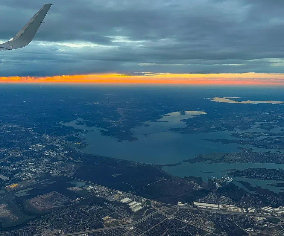
Lewisville Lake is a large reservoir north of Dallas, in Denton County, Texas, at 156 metres. It is a US Army Corps of Engineers impoundment on the Elm Fork of the Trinity River, and it presents one of the largest open surfaces of anywhere Kaayko tracks.
What drives the score here
Cold water is rarely the limiting factor here. Lewisville is a wind-and-heat location instead. It is broad, low, and open, with a long fetch and almost no terrain to interrupt it, so wind has room to build — and wind above 25 mph costs two full points under the hard limits, which no model output is allowed to argue back. Through the Texas summer, heat and UV do much of the rest of the work. Of the three Texas spots here, Lewisville is the one where wind alone is most likely to sink an otherwise good day.
What the Paddle Score measures
A single number from 1 (Danger) to 5 (Excellent), built from wind speed and gusts, air and water temperature, UV index, cloud cover, precipitation and visibility — then constrained by fixed safety rules the model is not allowed to override. Wind above 25 mph costs two full points. Water below 5°C is penalised hard regardless of how good the day looks.
What the score can’t see
Large Corps reservoirs carry significant motorised boat traffic. That is not weather, so it is not in the score, and on a busy weekend it may matter a great deal more than the forecast does.
Wear a life jacket, every time. The Paddle Score is a decision aid, not clearance to go out. It cannot account for your skill, your equipment, currents, traffic, or hazards at your launch site.