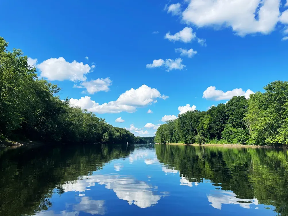
The Merrimack is a New England river running south through New Hampshire past Manchester and Nashua before crossing into Massachusetts, sampled here at 49 metres above sea level. Along with the Colorado at Moab, it is one of two moving-water locations in this list, and the lower and gentler of the pair.
What drives the score here
The elevation is low and the setting temperate, so the score here is driven by season rather than by altitude. Spring and autumn bring the cold-water rule into play in a way that mid-summer does not, and rain and wind do the rest. This gives the Merrimack the most conventional seasonal curve of anywhere in the list — no desert heat extreme, no permanent alpine cold floor, just a temperate year moving through its range. What the score cannot tell you is the state of the river itself.
What the Paddle Score measures
A single number from 1 (Danger) to 5 (Excellent), built from wind speed and gusts, air and water temperature, UV index, cloud cover, precipitation and visibility — then constrained by fixed safety rules the model is not allowed to override. Wind above 25 mph costs two full points. Water below 5°C is penalised hard regardless of how good the day looks.
What the score can’t see
On a river, current and flow are the variables that most often decide whether a day is reasonable, and neither one is a weather input. Check an official USGS gauge. A high Paddle Score is a statement about the air, not about the water moving underneath you.
Wear a life jacket, every time. The Paddle Score is a decision aid, not clearance to go out. It cannot account for your skill, your equipment, currents, traffic, or hazards at your launch site.