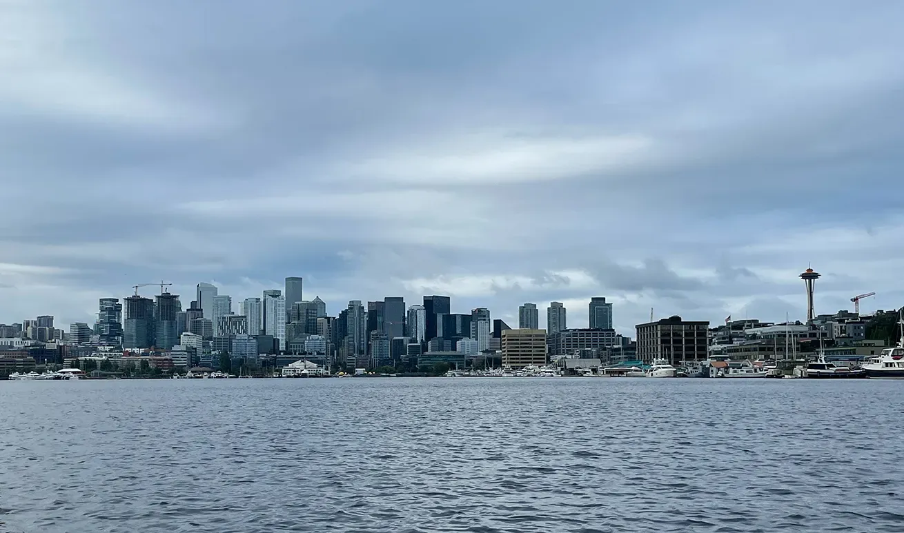
Lake Union sits in the middle of Seattle, Washington, at 14 metres above sea level — the lowest location in this list by a wide margin. It is a freshwater lake surrounded entirely by city, connected to Puget Sound and Lake Washington by the Lake Washington Ship Canal and the Hiram M. Chittenden Locks.
What drives the score here
This is the mildest profile Kaayko tracks. Low elevation and a maritime climate keep the extremes off the table: the cold-water rule fires far less often than at the mountain spots, and desert-grade heat and UV are simply not a factor. Cloud, rain, and wind end up doing most of the work, which is a fairly ordinary Pacific Northwest set of constraints. Statistically it is the spot least likely to be hard-capped by a safety rule, which is worth knowing but is not the same as being the safest.
What the Paddle Score measures
A single number from 1 (Danger) to 5 (Excellent), built from wind speed and gusts, air and water temperature, UV index, cloud cover, precipitation and visibility — then constrained by fixed safety rules the model is not allowed to override. Wind above 25 mph costs two full points. Water below 5°C is penalised hard regardless of how good the day looks.
What the score can’t see
Lake Union is working water. Seaplanes operate from it, commercial vessels use the canal, and recreational traffic is heavy in season — and none of that appears anywhere in a weather score. On Lake Union the traffic is very often the real constraint, not the forecast.
Wear a life jacket, every time. The Paddle Score is a decision aid, not clearance to go out. It cannot account for your skill, your equipment, currents, traffic, or hazards at your launch site.