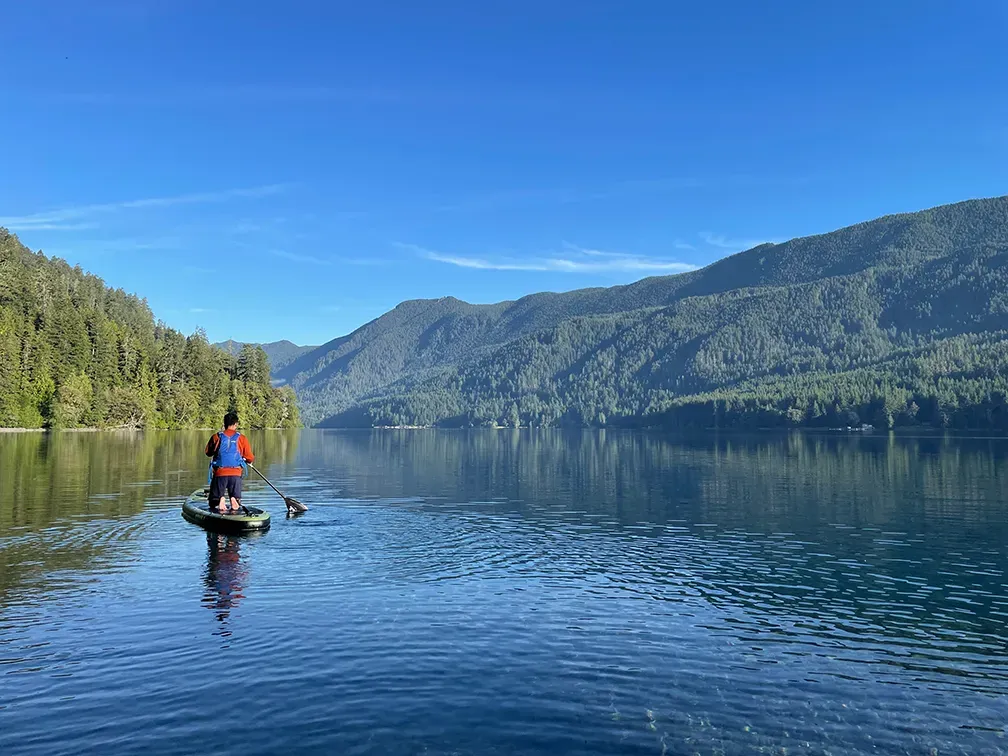
Lake Crescent lies inside Olympic National Park in Washington, at only 195 metres above sea level. It is a deep, glacially carved lake set in a steep forested valley on the Olympic Peninsula, and it is known for water clarity unusual for a lake of its size.
What drives the score here
Crescent is the clearest example in this list of why air temperature alone is a bad guide. The elevation is low — lower than every Colorado and Wyoming spot here by more than a kilometre — so the air can be genuinely mild. But the lake is deep and cold and does not warm the way its altitude suggests it might, and the Paddle Score weighs water temperature as a separate input for exactly this reason. Cloud cover and rain also carry weight here more often than at the desert spots, which is simply the Pacific Northwest doing what it does.
What the Paddle Score measures
A single number from 1 (Danger) to 5 (Excellent), built from wind speed and gusts, air and water temperature, UV index, cloud cover, precipitation and visibility — then constrained by fixed safety rules the model is not allowed to override. Wind above 25 mph costs two full points. Water below 5°C is penalised hard regardless of how good the day looks.
What the score can’t see
The valley walls are steep enough that conditions on one part of the lake need not match another. A single forecast point cannot capture that, and the score does not pretend to. Look at the water at your put-in before you trust the number.
Wear a life jacket, every time. The Paddle Score is a decision aid, not clearance to go out. It cannot account for your skill, your equipment, currents, traffic, or hazards at your launch site.